Civil Engineering, Construction Phase Services Engineering, Federal Services Engineering, Water Resources Engineering
Federal & Military
Master Planned Development, Transportation & Parking, Water, Sewer & Storm Infrastructure
Calibre provided civil engineering services for the $28 million Phase 4 Expansion of the Dallas...
Civil Engineering, Construction Phase Services Engineering
Private
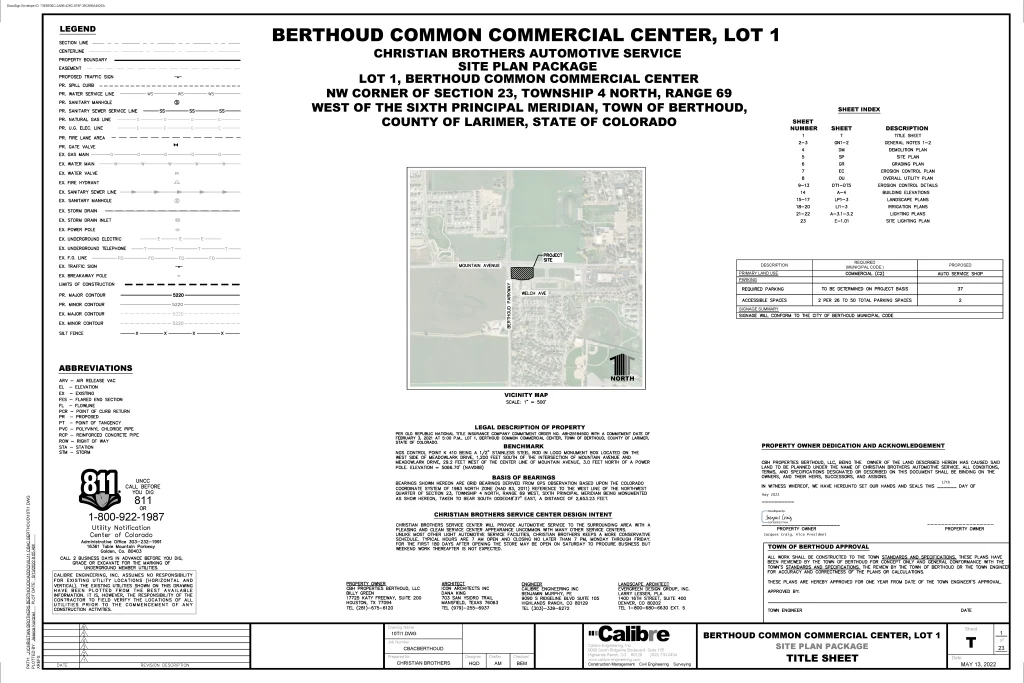
Auto & Maintenance
Located at the southeast corner of Mountain Avenue and Berthoud Parkway in Larimer County, Colorado,...
Municipal Services Engineering
Municipal
Parks & Recreation, Transportation & Parking
Calibre undertook the conceptual layout and cost estimation for a pivotal bridge extending from the...
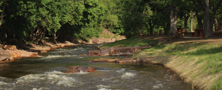
Whitewater & Rivers Engineering
Parks & Recreation
Calibre’s Whitewater Team led the restoration of the Town of Lyons’ park following the devastating...
Civil Engineering, Federal Services Engineering
Healthcare & Research
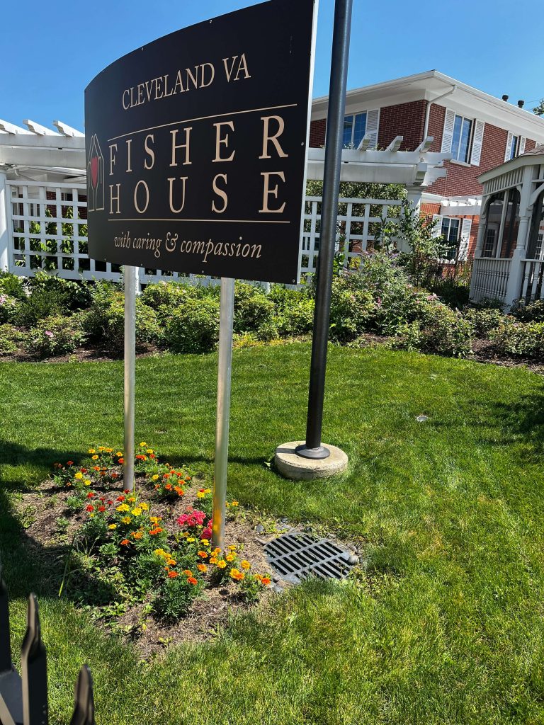
Calibre completed a comprehensive assessment of the storm sewer system for the Louis Stokes Cleveland...
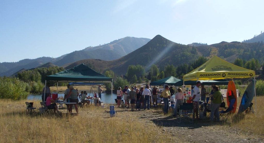
Calibre’s Whitewater Team led the development of the River Park Master Plan in Ketchum, Idaho,...
Federal Services Engineering, Structural Engineering
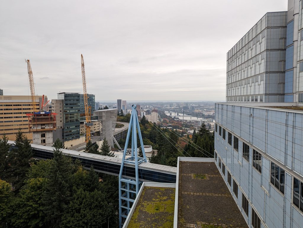
Calibre provided structural engineering services for the VA Portland Healthcare System, located in Portland, Oregon....
Structural Engineering
Residential
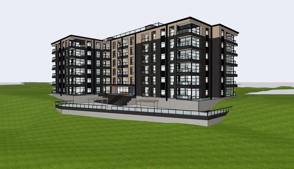
Calibre Engineering provided structural design services for the Pueblo Bluffs Multifamily Apartments. Spanning approximately 92,000...
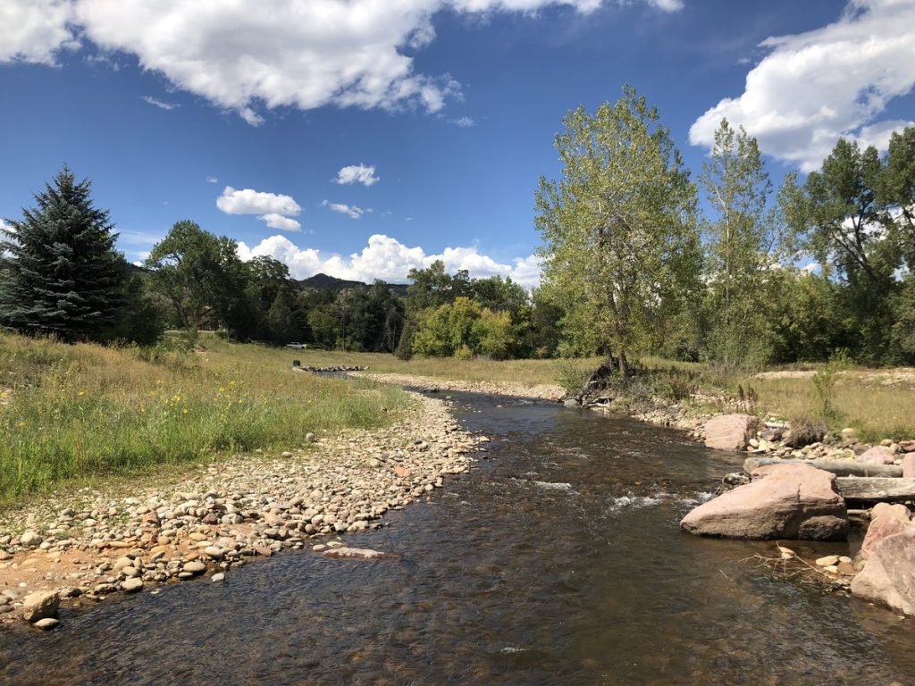
The Town of Eagle Visitors Center Boat Launch was constructed in the fall of 2015...
Civil Engineering
Aviation, Master Planned Development, Mixed-Use & TOD
Calibre is providing civil engineering services, including due diligence, site planning, and infrastructure design for...
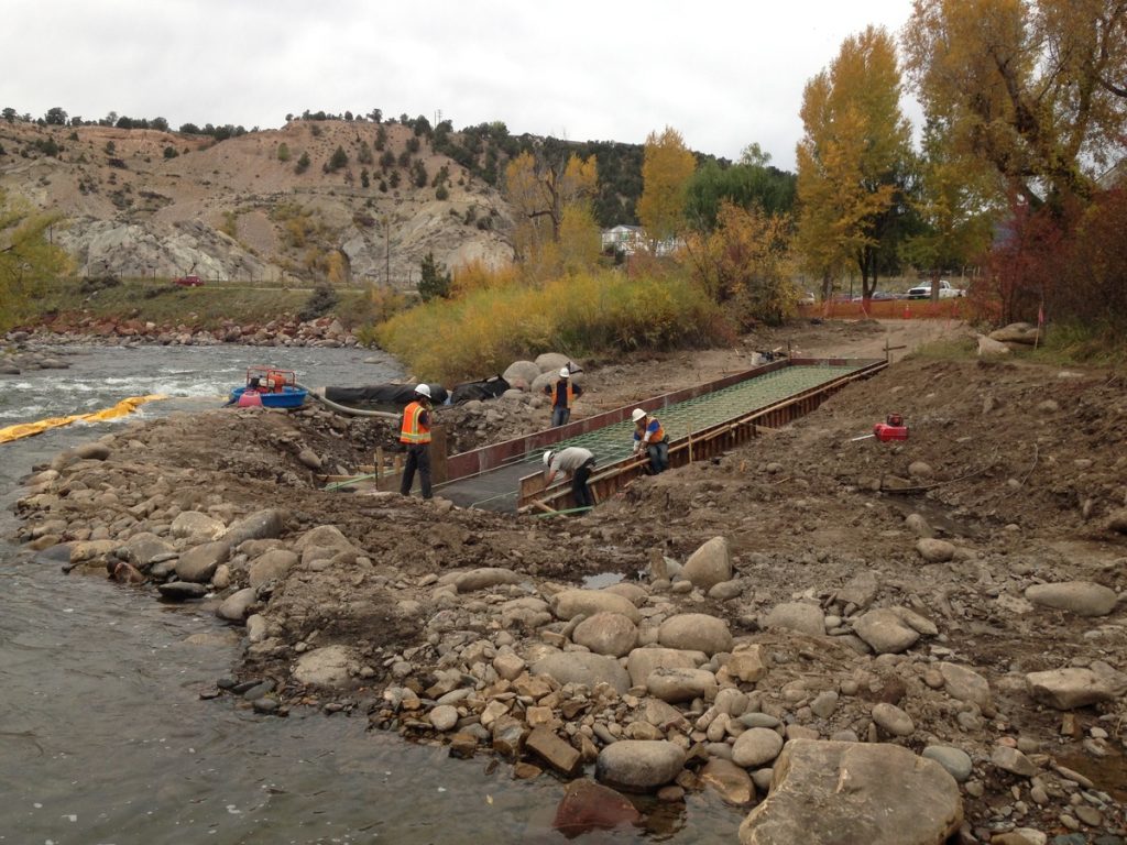
The 2013 Colorado Flood washed away approximately 3,600 square feet of riverfront property of a...
Civil Engineering, Municipal Services Engineering, Water Resources Engineering
Water, Sewer & Storm Infrastructure
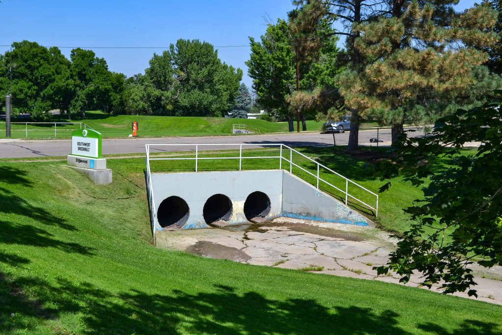
Calibre conducted a comprehensive assessment of a critical CMP and RCP stormwater pipe. The project...
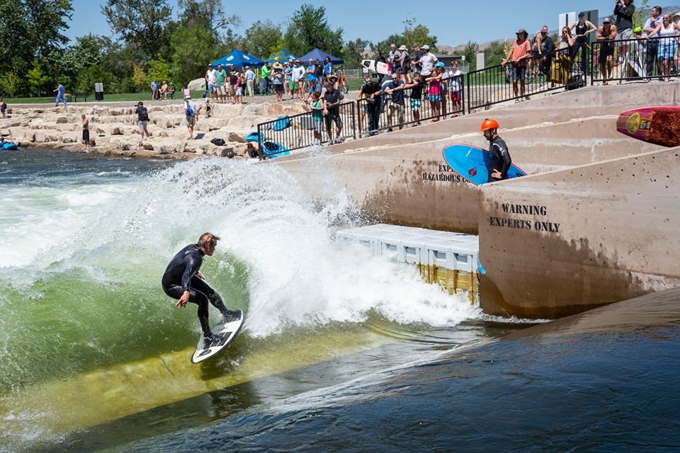
Calibre’s Whitewater Team collaborated with McMillen Associates, the City of Boise, and Farmer’s Union Diversion...
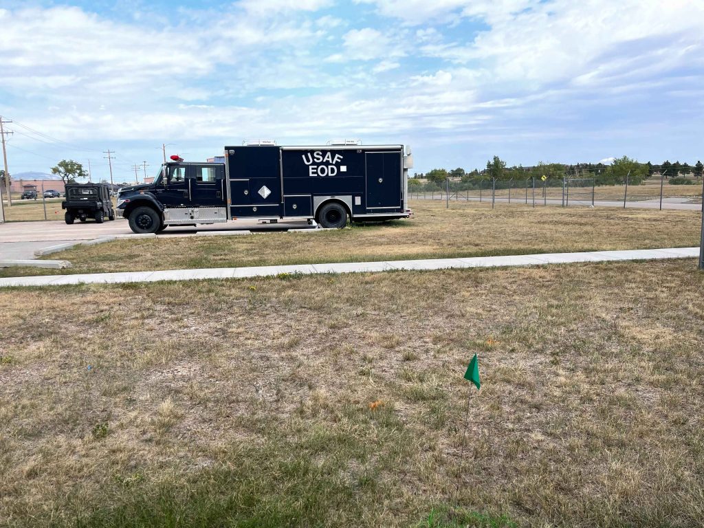
Aviation, Industrial & Storage
Calibre provided civil design services for an 11,619 square-foot Explosive Ordinance Disposal (EOD) Facility addition...
Civil Engineering, Municipal Services Engineering
Transportation & Parking, Water, Sewer & Storm Infrastructure
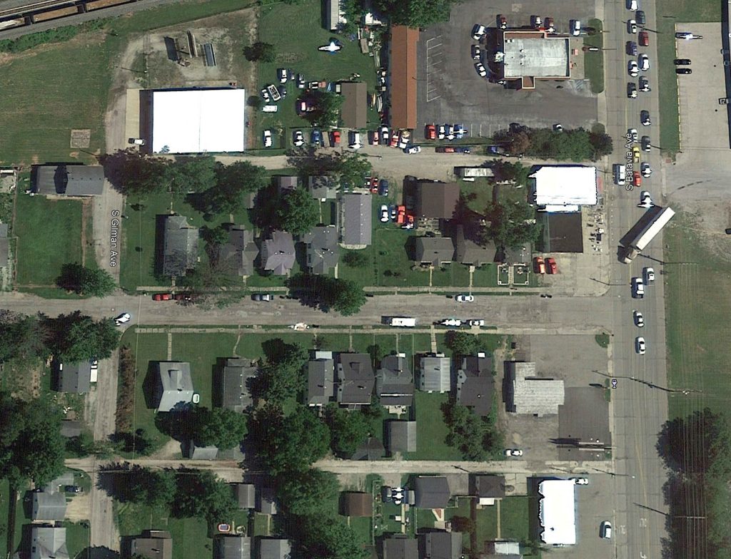
Calibre served as the on-call civil engineer for the City of Muncie, Indiana, overseeing a...
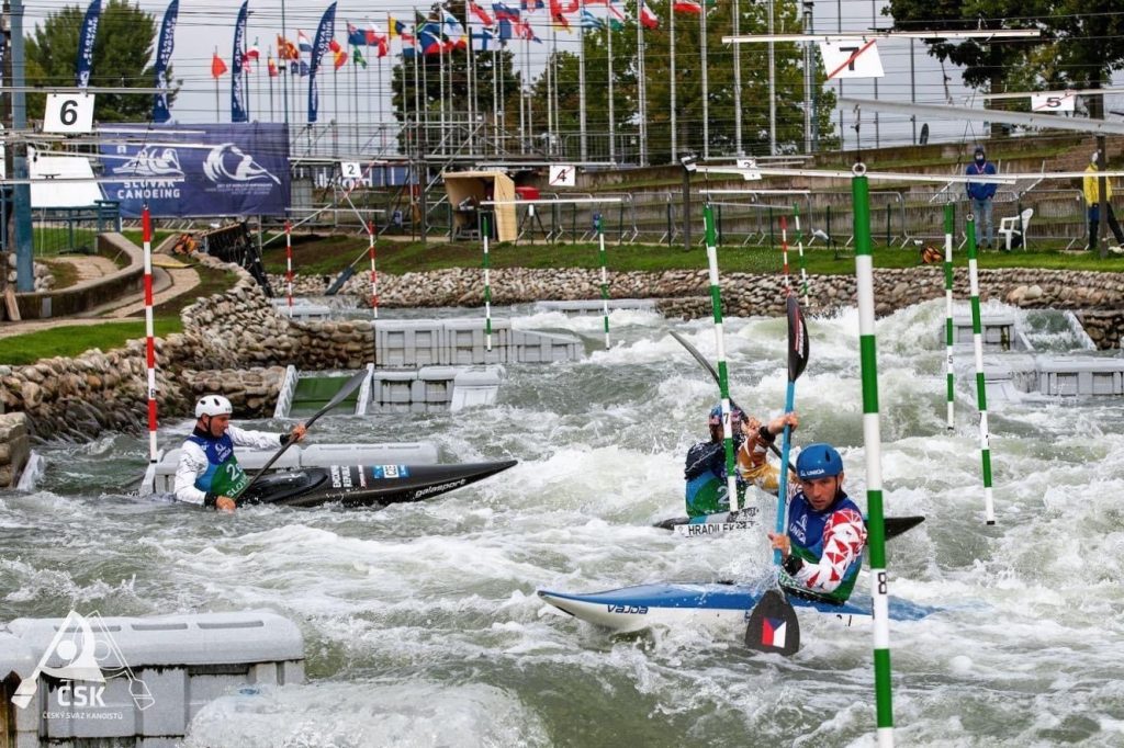
International
The Čunovo Water Sports Centre in Bratislava, Slovakia, originally built in 1996, hosted its first...
The Grand Junction VA Medical Center project includes 50,000 square feet of infrastructure. Calibre delivered...
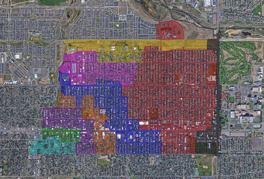
Master Planned Development, Water, Sewer & Storm Infrastructure
Calibre Engineering collaborated with AECOM on a transformative Wastewater Master Plan for the City of...